Airbus Wins Contract For Aeolus-2 Wind Sensing Satellite
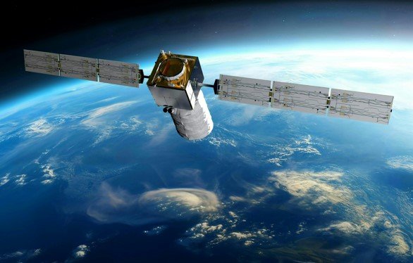
On 2nd July 2026, Airbus Defence and Space announced a new contract with the European Space Agency to design and build the Aeolus-2 wind sensing satellite. The agreement was signed at ESA’s UK headquarters, ECSAT, in Harwell. The announcement establishes the next step in Europe’s program to observe winds from space and to improve weather information.
Aeolus-2 will continue the work started by the first Aeolus satellite, which launched in 2018. That initial mission delivered the first high‑resolution vertical wind profiles from space and helped reduce forecast errors. In practical terms, the project contributed to a measurable improvement in numerical weather prediction, benefiting weather services and stakeholders across Europe. More to the point, the mission demonstrated how space‑based wind data can influence forecasting accuracy and weather models.
“Aeolus exceeded expectations and demonstrated the transformative impact that space-based wind observations can have on weather forecasting. Aeolus-2 represents the natural evolution of that achievement – from pioneering research to an operational service that will benefit citizens and businesses worldwide. We are happy to provide the authorisation to proceed, which marks an important milestone in ensuring Europe remains at the forefront of atmospheric observation and meteorological innovation,” said Simonetta Cheli, ESA’s Director of Earth Observation Programmes.
The original Aeolus mission produced useful data on atmospheric conditions and helped improve understanding of events such as hurricanes and the movement of volcanic ash in the upper atmosphere. It also enhanced data availability in challenging regions, including the poles and the equator, contributing to a notable decrease in the gap between predictions and observations.
Aeolus works by sending lasers into the atmosphere and collecting returning light that bounces off particles like dust, ice, and water droplets. The speed and direction of winds are inferred from the Doppler shift in the scattered light, using a Doppler wind lidar system with ultraviolet lasers. The technology enables measurements from the ground up to about 30 kilometers above sea level and provides data at short intervals, with coverage of the globe roughly every week.
“The UK has been at the forefront of satellite weather forecasting since the original Aeolus mission, and I’m delighted that Airbus Defence and Space in the UK will once again play a leading role in this next chapter. Aeolus-2 will deliver real benefits for people across the UK, from more accurate weather forecasts that protect lives and communities, to the highly skilled jobs that come from being a key partner in Europe’s most ambitious space science programmes,” said Liz Lloyd, UK Space Minister.
The Aeolus‑2 program is a collaboration between the European Space Agency and EUMETSAT, with intended beneficiaries including major weather centers such as the UK Met Office and ECMWF. The mission schedule calls for about 15 orbital passes per day, with data ready to users within 120 minutes of the oldest measurement in each orbit. The satellite will operate in a near‑polar orbit at about 450 kilometers altitude, and it is designed for a nominal lifetime of 5.5 years.